


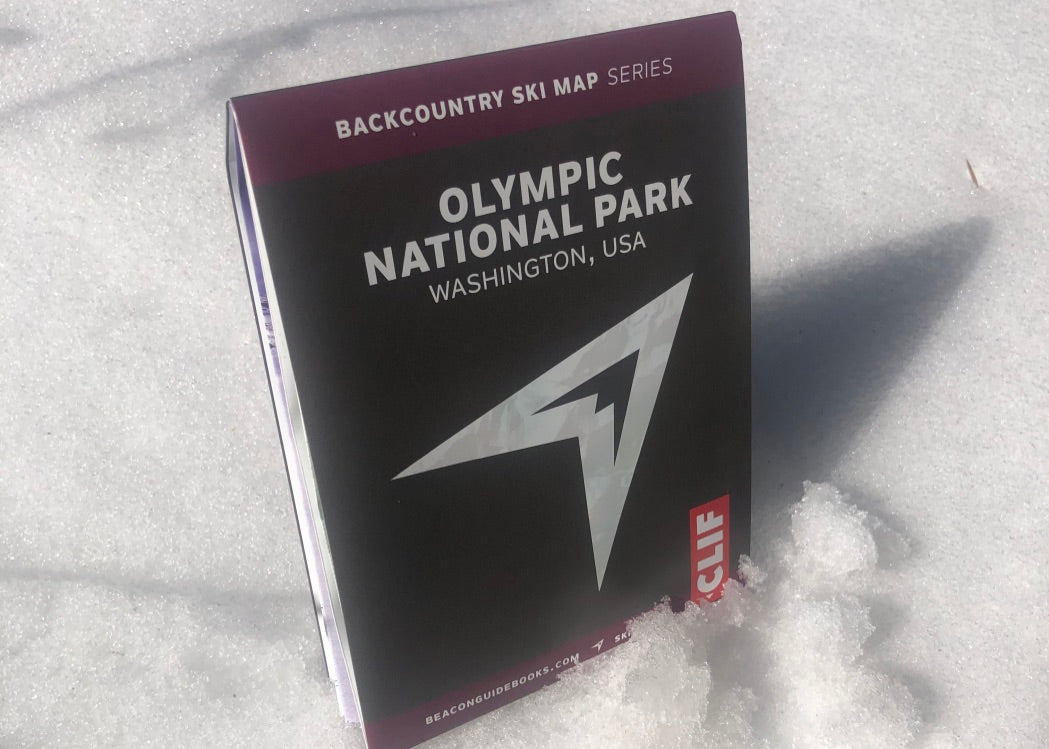

From Sam Luthy and Matt Schonwald. Professional knowledge is delivered to you in a compact, waterproof tool to help you make better plans and decisions in the backcountry. From entry-level day tours to bucket list adventures, the Backcountry Ski Map brings it all to your hands. This waterproof, tear-proof map is designed to join you on your tour. It shows runs, skintracks, slope angles, ATES rating, parking, trailheads and more.
Zones covered:
-Rocky Peak
-Roadside
-Klahhane
-Silver Fir
-Angeles
-Darkside
-Circumnavigations
-Visitor Center and Kingdome
-Maggie’s and 20th of June
-Sunrise and Cox
-Hurricane Hill
-Steeple Rock
-Eagle
-Obstruction
-Elk Mountain
-Deer Park
-Lillian Ridge
Ski, climb, hike, camp, and summit with expert-curated, guide-tested outdoor gear from top brands. Shop online or visit us in Seattle for friendly advice!
Not valid on sale items, Garmin products, or Totem Cams. Other exclusions may apply
© 2026, Ascent Outdoors

